The Strait of Hormuz: 34km that price the world
Hormuz carries about a fifth of seaborne oil through a 34km-wide chokepoint
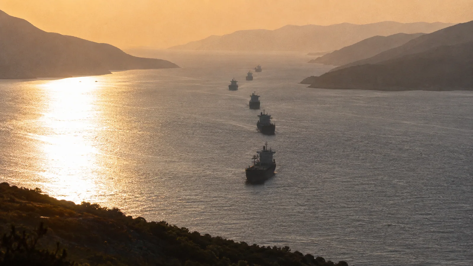
The three lines
- Hormuz is the only sea route between the Persian Gulf and the open ocean
- About a fifth of seaborne oil and major LNG volumes pass its 34km narrows
- After Iran struck tankers there in July, reopening it now anchors the US-Iran talks
Key questions
- What happens if the Strait of Hormuz closes
- Most seaborne exports from Saudi Arabia, the UAE, Kuwait, Qatar, Iraq and Iran stop. Bypass pipelines can carry only part of the volume, so prices spike immediately — as markets have repeatedly demonstrated at the mere threat.
- Where is the Strait of Hormuz
- Between Iran and Oman at the mouth of the Persian Gulf. The narrows run about 34km wide, with shipping confined to lanes roughly 3km wide in each direction — and Iran holds the entire northern shore.
- Is the strait open right now
- Traffic has been constrained since Iran struck two tankers there in July, and 'reopening' being the headline agenda item of the talks is itself the strongest evidence that normal transit has not resumed.
Every story in this war eventually routes through one stretch of water. When Trump cited "reopening the Strait of Hormuz" as the centre of the talks, he named the place where geopolitics becomes a pump price. Here is why 34 kilometres of sea carry that weight.
1. The geography
Hormuz is the only sea passage between the Persian Gulf and the open ocean. Everything Saudi Arabia, the UAE, Kuwait, Qatar, Iraq and Iran export by water goes through it — there is no maritime alternative. The narrows span about 34km, but large vessels are confined to traffic lanes roughly 3km wide in each direction.
The political fact sits on top of the geographic one: Iran owns the entire northern shore. That is what converts a shipping lane into leverage, and in July the leverage stopped being theoretical — Iran struck two tankers inside the strait.
2. The numbers
| Item | Detail |
|---|---|
| Location | between Iran and Oman, mouth of the Persian Gulf |
| Narrows | ~34km; shipping lanes ~3km each way |
| Volume | ~1/5 of seaborne oil, plus major LNG flows |
| Bypass | Saudi and UAE pipelines — partial capacity only |
| July | Iran strikes two tankers in the strait |
| Now | "reopening" anchors the US-Iran talks |
The bypass math is what makes closure threats credible. Overland pipelines across Saudi Arabia and the UAE can reroute only part of the Gulf's export volume, so a closed strait doesn't redistribute supply — it subtracts it. Oil-importing economies like Korea and Japan, whose crude overwhelmingly transits Hormuz, price this risk within hours of every escalation headline.
3. What is still open
"About a fifth" is the standard statistical range; precise shares vary by year and agency. Current transit counts and war-risk insurance premiums are moving numbers not specified here. The sharpest available signal is diplomatic, not statistical: negotiators calling the agenda item "reopening" concedes that normal transit has not resumed.